Discover the Benefits of Drone Mapping Services Near Me with Drone Perspective LLC
In the rapidly evolving world of technology, drone mapping has emerged as a game-changer across various industries. At Drone Perspective LLC, we provide cutting-edge drone mapping services near me to help businesses and individuals leverage this innovative solution. In this article, we'll explore the numerous benefits of drone mapping and why choosing a local provider like Drone Perspective LLC is a smart decision.
One of the primary benefits of drone mapping services near me is the precision and accuracy of the data collected. Our drones can capture high-resolution images from multiple angles, providing detailed and accurate maps that are essential for making informed decisions.
2. Time and Cost Efficiency
Traditional mapping methods can be time-consuming and expensive. Drone mapping services significantly reduce the time required to collect data and create maps. This efficiency translates into cost savings for your projects, making it a more affordable solution.
3. Access to Hard-to-Reach Areas
Drones can easily access and map hard-to-reach or hazardous areas that may be difficult or dangerous for humans to navigate. This capability ensures comprehensive data collection without compromising safety.
4. Real-Time Data Collection
With drone mapping services near me, you can receive real-time data collection and analysis. This immediate access to information allows for quicker decision-making and adjustments to ongoing projects, ensuring they stay on track and within budget.
5. Versatility Across Industries
Drone mapping services are versatile and can be applied across various industries. Whether you're in construction, agriculture, real estate, or environmental monitoring, drone mapping can provide valuable insights and data to improve your operations.
In the construction industry, drone mapping services are used for site surveys, progress monitoring, and inspections. Accurate maps and 3D models help project managers track development, identify potential issues, and ensure projects are completed on time and within budget.
2. Agriculture
Farmers can benefit from drone mapping services by using them for crop monitoring and land assessment. Detailed aerial maps help detect crop health, assess irrigation needs, and manage resources more efficiently, leading to better yields and sustainable farming practices.
3. Real Estate
In real estate, drone mapping services provide stunning aerial views of properties and surrounding areas. This unique perspective enhances marketing materials and attracts potential buyers, showcasing properties in the best light.
4. Environmental Monitoring
Drone mapping services are invaluable for environmental monitoring and conservation efforts. Drones can track changes in landscapes, monitor wildlife habitats, and assess environmental impacts with precision, providing crucial data for researchers and conservationists.
5. Infrastructure Inspection
For infrastructure inspection, drone mapping services offer detailed and accurate maps of structures such as bridges, power lines, and cell towers. This data helps identify maintenance needs, prevent outages, and ensure the efficient operation of critical infrastructure.
What Are Drone Mapping Services?
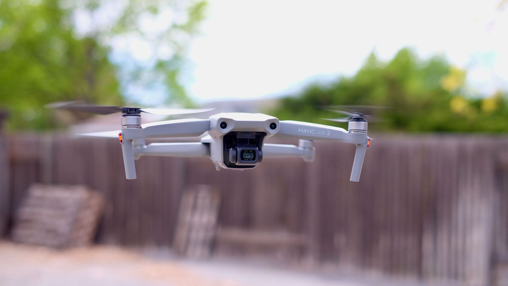
Drone mapping involves using drones equipped with high-resolution cameras and GPS technology to capture detailed aerial images of a specific area. These images are then processed to create accurate, high-quality maps and 3D models. Drone mapping services are used in various applications, including construction, agriculture, real estate, and environmental monitoring.The Advantages of Drone Mapping Services Near Me
1. Precision and AccuracyOne of the primary benefits of drone mapping services near me is the precision and accuracy of the data collected. Our drones can capture high-resolution images from multiple angles, providing detailed and accurate maps that are essential for making informed decisions.
2. Time and Cost Efficiency
Traditional mapping methods can be time-consuming and expensive. Drone mapping services significantly reduce the time required to collect data and create maps. This efficiency translates into cost savings for your projects, making it a more affordable solution.
3. Access to Hard-to-Reach Areas
Drones can easily access and map hard-to-reach or hazardous areas that may be difficult or dangerous for humans to navigate. This capability ensures comprehensive data collection without compromising safety.
4. Real-Time Data Collection
With drone mapping services near me, you can receive real-time data collection and analysis. This immediate access to information allows for quicker decision-making and adjustments to ongoing projects, ensuring they stay on track and within budget.
5. Versatility Across Industries
Drone mapping services are versatile and can be applied across various industries. Whether you're in construction, agriculture, real estate, or environmental monitoring, drone mapping can provide valuable insights and data to improve your operations.
Applications of Drone Mapping Services Near Me
1. ConstructionIn the construction industry, drone mapping services are used for site surveys, progress monitoring, and inspections. Accurate maps and 3D models help project managers track development, identify potential issues, and ensure projects are completed on time and within budget.
2. Agriculture
Farmers can benefit from drone mapping services by using them for crop monitoring and land assessment. Detailed aerial maps help detect crop health, assess irrigation needs, and manage resources more efficiently, leading to better yields and sustainable farming practices.
3. Real Estate
In real estate, drone mapping services provide stunning aerial views of properties and surrounding areas. This unique perspective enhances marketing materials and attracts potential buyers, showcasing properties in the best light.
4. Environmental Monitoring
Drone mapping services are invaluable for environmental monitoring and conservation efforts. Drones can track changes in landscapes, monitor wildlife habitats, and assess environmental impacts with precision, providing crucial data for researchers and conservationists.
5. Infrastructure Inspection
For infrastructure inspection, drone mapping services offer detailed and accurate maps of structures such as bridges, power lines, and cell towers. This data helps identify maintenance needs, prevent outages, and ensure the efficient operation of critical infrastructure.